

PlanetAI Nature Space
Technology

TerraMine AI
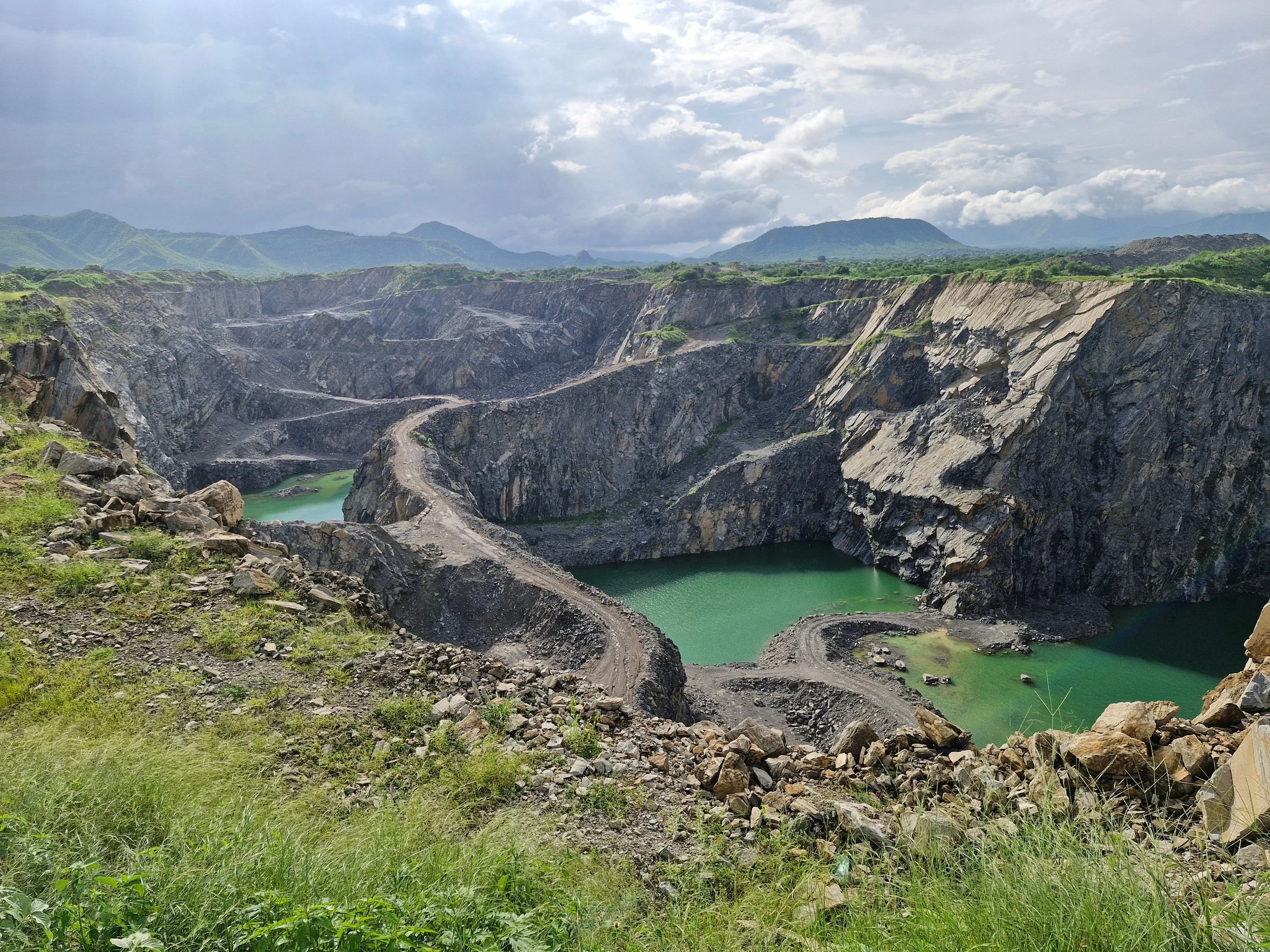
Mining technology

Quantum Aqua
Brochure
Quantum Machine Learning
PlanetAI Quantum Machine Learning combines the power of quantum computing with cutting-edge AI to address complex environmental challenges at unmatched speed and scale. By elevating pattern recognition across massive satellite datasets, it delivers highly accurate predictions for climate trends, ecosystem dynamics, and natural resource optimization—ushering in a new era of sustainable intelligence.
Recognized for its breakthrough potential, PlanetAI’s quantum technology was selected as a Top Innovator by UpLink, an initiative of the World Economic Forum.

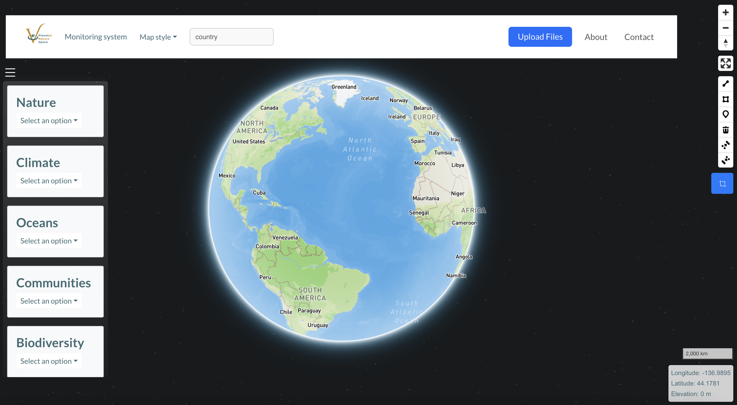
Environmental Platform
PlanetAI Environmental Platform is an AI-powered system that monitors, analyzes, and enhances environmental intelligence using satellite data and quantum algorithms. It provides real-time insights into key natural indicators—including biodiversity, climate, oceans, nature-based assets, and environmental risks—empowering governments, companies, and communities to take data-driven action for a sustainable future.
Air Quality Algorithms
PlanetAI Air Quality Algorithms leverage satellite imagery and machine learning to detect, quantify, and forecast air pollutants such as NO₂, PM2.5, CO, and methane. These algorithms provide high-resolution, near-real-time data to support urban planning, industrial monitoring, and public health decision-making with scientific precision.

Water quality algorithms
PlanetAI Water Quality Algorithms use satellite data and AI models to monitor key water quality indicators such as turbidity, chlorophyll, temperature, and potential contamination. Designed for rivers, lakes, and coastal zones, they deliver real-time insights to support ecosystem protection, sustainable water management, and early detection of environmental risks.

Soil Quality Algorithms
PlanetAI Soil Quality Algorithms harness satellite imagery and AI to assess critical soil indicators such as organic carbon, moisture, salinity, and erosion risk. These algorithms provide continuous, large-scale monitoring to support sustainable agriculture, land restoration, and climate-resilient land management.
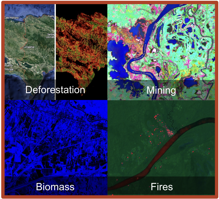
Satellite Monitoring
Temporal evolution of the La Mohana floodplain basin in Colombia, shown in a sequence of satellite-like frames with varying water coverage over time
Our technology has been awarded and recognized by
